Secondary nav 2022

  • Equipment
  • Software
  • Training

Main navigation 2022

  • About
    • About HR Wallingford
    • Our leadership
    • Our people
    • Our impact
      • Annual report & financial statements
      • Gender pay
      • Social impact
      • Sustainability
    • Our story
    • News
    • Insight articles
    • Policies
  • Projects
  • Expertise
    • Coastal & marine sustainability
      • Coastal hazards & resilience
      • Coastal morphology & sediment dynamics
      • Dredging and sediment management
      • Marine & coastal environment
      • Ports, harbours and shipping
      • Subsea engineering
      • Waterfronts, marinas and resorts
    • Energy transition
      • Fixed offshore wind
      • Floating offshore wind
      • Liquified gas & transition fuels
      • Nuclear
      • Wave, tidal, solar & hydropower
    • Water & climate resilience
      • Dams & reservoirs
      • Freshwater environment
      • Integrated flood management
      • Surface water systems
      • Water management for climate resilient development
      • Water supply & drought resilience
  • Facilities
    • Explore our facilities
    • Ship simulation
      • Australia Ship Simulation Centre
      • UK Ship Simulation Centre
    • Physical modelling
      • Fast Flow Facility
      • Tsunami simulator
      • Volumetric flow flume
      • Wave basins
      • Wave flumes
      • Erosion rate measurement
      • Water rescue training
  • Careers
    • Careers overview
    • Working at HR Wallingford
    • Job opportunities
  • Contact
  • About
    • About HR Wallingford
    • Our leadership
    • Our people
    • Our impact
      • Annual report & financial statements
      • Gender pay
      • Social impact
      • Sustainability
    • Our story
    • News
    • Insight articles
    • Policies
  • Projects
  • Expertise
    • Coastal & marine sustainability
      • Coastal hazards & resilience
      • Coastal morphology & sediment dynamics
      • Dredging and sediment management
      • Marine & coastal environment
      • Ports, harbours and shipping
      • Subsea engineering
      • Waterfronts, marinas and resorts
    • Energy transition
      • Fixed offshore wind
      • Floating offshore wind
      • Liquified gas & transition fuels
      • Nuclear
      • Wave, tidal, solar & hydropower
    • Water & climate resilience
      • Dams & reservoirs
      • Freshwater environment
      • Integrated flood management
      • Surface water systems
      • Water management for climate resilient development
      • Water supply & drought resilience
  • Facilities
    • Explore our facilities
    • Ship simulation
      • Australia Ship Simulation Centre
      • UK Ship Simulation Centre
    • Physical modelling
      • Fast Flow Facility
      • Tsunami simulator
      • Volumetric flow flume
      • Wave basins
      • Wave flumes
      • Erosion rate measurement
      • Water rescue training
  • Careers
    • Careers overview
    • Working at HR Wallingford
    • Job opportunities
  • Contact
  1. Home >
  2. Projects >
  3. SEUSS, innovative modelling to safeguard marine ecosystems worldwide.
SEUSS, innovative modelling to safeguard marine ecosystems worldwide.

Share
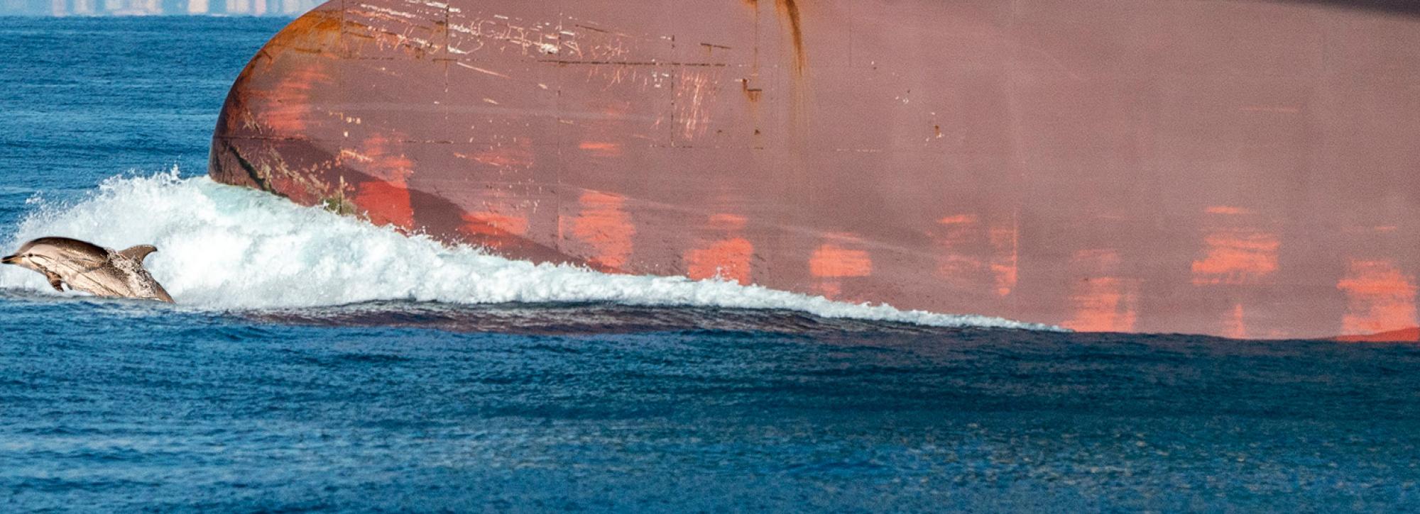
dolphin swimming next to big ship

Satellite-Enhanced Underwater Sound Services, (SEUSS) is an underwater sound modelling service that we have developed as part of a European Space Agency-funded project. It integrates satellite-derived data with advanced acoustic modelling to improve the accuracy of Environmental Impact Assessments, (EIAs) for marine developments. 

Our oceans are becoming increasingly noisy. Between 2014 and 2019, underwater noise levels in European waters more than doubled, largely due to the shipping industry. Climate change is compounding the problem, with stormier seas generating more wave-related noise. This growing acoustic pollution threatens marine species that rely on sound for communication, navigation, and survival. Current modelling approaches often struggle to distinguish between natural and man-made noise sources, making it difficult to accurately assess the potential impact of new marine infrastructure developments such as ports, wind farms, dredging, and seabed mining operations.

SEUSS addresses these challenges by introducing satellite-enabled enhancements to underwater noise modelling. It uses Automatic Identification System, (AIS) data to map ship positions and generate accurate, localised background noise profiles, while satellite weather observations help infer noise from sea conditions. These data streams are integrated with our proven underwater noise models to produce detailed spatio-temporal noise fields that feed into assessments of potential ecological impacts. The results are delivered through an intuitive interface featuring charts, tables, and maps, giving regulators and contractors the tools they need to make informed decisions and implement effective mitigation strategies.

The animation above shows simulation results from the SEUSS system using AIS data of moving vessels in Falmouth Bay (UK).

Why this matters

By improving the accuracy of underwater noise assessments, SEUSS helps ensure that marine developments meet environmental standards and minimise harm to marine life. This innovation supports sustainable growth in offshore industries while safeguarding biodiversity. With global accessibility, SEUSS empowers stakeholders worldwide to better understand and manage underwater noise, contributing to healthier oceans and more responsible marine development.


Contact our project lead

Tom Benson
Technical Director
Contact Profile
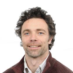
Headshot of Scientist Tom Benson

Explore more

  • All
  • Project
  • Expertise
  • News
  • Insight
  • Facility
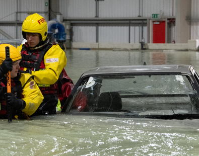
Emergency services in a water rescue training

Water rescue training

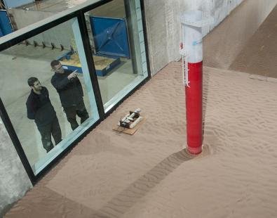
Erosion rate measurement

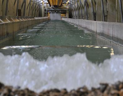
View of a wave generated in our wave flume

Wave flumes

View of fish pass test in volumetric flow flume

Volumetric flow flume

View of fish pass test in volumetric flow flume

Volumetric flow flume

Photo of two people working on the tsunami simulator

Tsunami simulator

View from inside our ship simulation center in Australia

Australia Ship Simulation Centre

Wave basins

View inside the UK Ship simulator with screens

UK Ship Simulation Centre

Fast Flow Facility

Computer simulation view of Felixstowe port simulation, UK

Ship simulation at HR Wallingford

View of testing of breakwater on physical models

Physical modelling

We are global leaders and independent experts in how to live and work sustainably with water

Social media

  • BlueSky
  • LinkedIn
  • YouTube

Expertise

  • Coastal & marine
  • Energy transition
  • Water & climate
  • Software solutions
  • Equipment & technology

Company

  • About
  • Careers
  • News
  • Insights
  • Sustainability

Legal

  • Privacy & data protection
  • Policies
  • Modern slavery statement
  • Terms & conditions
  • Sitemap
© 2026 HR Wallingford
Contact