Integrated flood management

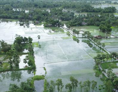
Flooding is increasing across river catchments, urban areas and coastlines. Integrated flood management brings together a range of approaches based upon modelling, forecasting, surface water management, defence assessment and nature based solutions to reduce risk and improve resilience. We support clients with clear, evidence led tools — from early warning systems and flood hazard mapping to defence performance analysis, risk assessment, and emergency planning. Our people help organisations make confident, climate ready decisions that help to protect communities, ecosystems and infrastructure.
Climate pressures driving catchment‑to‑coast flood risk
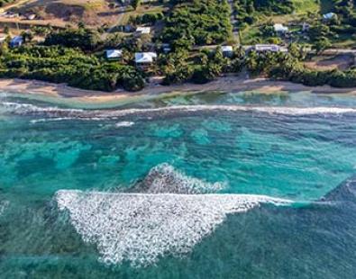
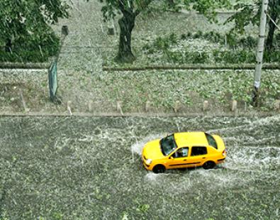
Climate change is increasing the intensity of rainfall, sea level rise, storm surges and flash flood events. These pressures heighten flood risk from rivers, surface water, groundwater and the coast, affecting drainage networks, river channels, defences and low lying coastal areas.
Integrated flood management takes a holistic, catchment to coast view of flooding as a dynamic system. It considers how upland runoff, urban drainage, tidal surges and defence performance interact, particularly under future climate conditions.
Challenges in forecasting, flood hazard mapping and whole‑system planning
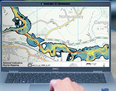
Clients need to understand how flood events are generated, the probability of different mechanisms, and how multiple sources combine to create wider impacts. High‑quality flood hazard mapping, covering river, tidal, coastal, pluvial and combined events, is essential for planning, regulatory processes and resilience strategies.
Flood risk mapping also considers exposure, vulnerability and the consequences for people, places and infrastructure. Organisations face additional challenges such as defence reliability, overtopping, scour, river morphology, urban pathways, emergency response and risk‑based investment. Confident decisions rely on integrated modelling, real‑time data and decision‑support tools that bring these elements together.
Advanced flood forecasting, early warning and decision‑support systems
We design flood forecasting systems that combine hydrology, sensor networks, radar rainfall, satellite data and hydrodynamic modelling. These tools provide early warning of river, surface water and coastal flooding, including tide–surge–wave interactions, overtopping potential and probabilistic inundation.
Our decision‑support dashboards show real‑time flood extents, uncertainty bands, lead times and recommended actions—helping operators respond quickly and coordinate effectively. Our expertise spans sensor network design, early‑warning communication and building response capacity across agencies and communities. We assure national early‑warning systems to ensure they protect lives and livelihoods.
Combining nature‑based solutions, engineered measures and surface water management
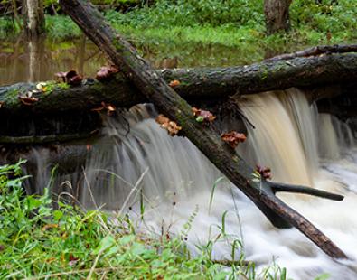
Flood resilience is strongest when natural processes and engineered measures work together. We design nature‑based solutions such as wetlands, leaky barriers, floodplain reconnection, woodland planting, dunes and saltmarsh to slow and store water.
These sit alongside engineered options including embankments, walls, coastal defences, conveyance improvements, drainage upgrades and blue‑green urban systems. Our surface water management work covers runoff modelling, exceedance planning, SuDS integration and urban flood mitigation, delivering solutions that work with nature and support environmental benefits.
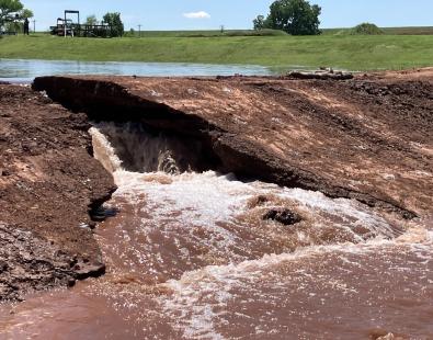
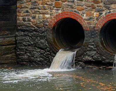
Flood defence infrastructure, performance assessment and failure analysis
We evaluate river and coastal defences - embankments, walls, barriers, outfalls and revetments - to understand their performance under pressure. We analyse overtopping, structural resilience, scour, erosion and residual life using numerical and physical modelling.
Our Reliable method assesses defence failure modes, including breach formation, seepage and structural fatigue, helping clients prioritise maintenance and investment. We also map defences, identify weak points and assess their role within wider systems.
Integrated flood management expertise
Simulate rainfall runoff and river flows across whole catchments to assess risk and test interventions.
Model tide, surge, waves and overtopping to predict coastal inundation under current and future scenarios.
Integrate sensors, radar data, satellite data and hydrological and hydrodynamic models for river, coastal and surface water forecasting.
Provide lead times, flood extents, uncertainty bands and recommended actions for the public, operators and responders.
Produce river, coastal, pluvial and combined flood hazard maps for planning, permitting and resilience planning.
Assess the risks of flooding under a range of scenarios, taking account of exposure and vulnerability of receptors.
Design wetlands, leaky barriers, floodplain reconnection, dunes and saltmarsh to slow and store water.
Evaluate and improve embankments, walls, barriers and control structures for long term performance.
Identify breach pathways, failure modes and probabilities to prioritise investment.
Model scour, sediment transport and erosion risk around river and coastal structures.
Predict erosion, deposition and channel evolution to support conveyance and sustainable river management.
Evaluate channel capacity and hydraulic performance under varying flow conditions.
Model pathways, urban runoff and blue-green solutions to reduce surface water flooding.
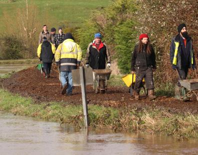
Survey and map defence condition, function and maintenance needs to support risk based planning.
Use modelling and scenario testing to inform evacuation routes, access planning and flood operations.
Apply future sea level rise and rainfall scenarios to support adaptive flood risk management.
Get in touch
Emma Brown