Secondary nav 2022

  • Equipment
  • Software
  • Training

Main navigation 2022

  • About
    • About HR Wallingford
    • Our leadership
    • Our people
    • Our impact
      • Annual report & financial statements
      • Gender pay
      • Social impact
      • Sustainability
    • Our story
    • News
    • Insight articles
    • Policies
  • Projects
  • Expertise
    • Coastal & marine sustainability
      • Coastal hazards & resilience
      • Coastal morphology & sediment dynamics
      • Dredging and sediment management
      • Marine & coastal environment
      • Ports, harbours and shipping
      • Subsea engineering
      • Waterfronts, marinas and resorts
    • Energy transition
      • Fixed offshore wind
      • Floating offshore wind
      • Liquified gas & transition fuels
      • Nuclear
      • Wave, tidal, solar & hydropower
    • Water & climate resilience
      • Dams & reservoirs
      • Freshwater environment
      • Integrated flood management
      • Surface water systems
      • Water management for climate resilient development
      • Water supply & drought resilience
  • Facilities
    • Explore our facilities
    • Ship simulation
      • Australia Ship Simulation Centre
      • UK Ship Simulation Centre
    • Physical modelling
      • Fast Flow Facility
      • Tsunami simulator
      • Volumetric flow flume
      • Wave basins
      • Wave flumes
      • Erosion rate measurement
      • Water rescue training
  • Careers
    • Careers overview
    • Working at HR Wallingford
    • Job opportunities
  • Contact
  • About
    • About HR Wallingford
    • Our leadership
    • Our people
    • Our impact
      • Annual report & financial statements
      • Gender pay
      • Social impact
      • Sustainability
    • Our story
    • News
    • Insight articles
    • Policies
  • Projects
  • Expertise
    • Coastal & marine sustainability
      • Coastal hazards & resilience
      • Coastal morphology & sediment dynamics
      • Dredging and sediment management
      • Marine & coastal environment
      • Ports, harbours and shipping
      • Subsea engineering
      • Waterfronts, marinas and resorts
    • Energy transition
      • Fixed offshore wind
      • Floating offshore wind
      • Liquified gas & transition fuels
      • Nuclear
      • Wave, tidal, solar & hydropower
    • Water & climate resilience
      • Dams & reservoirs
      • Freshwater environment
      • Integrated flood management
      • Surface water systems
      • Water management for climate resilient development
      • Water supply & drought resilience
  • Facilities
    • Explore our facilities
    • Ship simulation
      • Australia Ship Simulation Centre
      • UK Ship Simulation Centre
    • Physical modelling
      • Fast Flow Facility
      • Tsunami simulator
      • Volumetric flow flume
      • Wave basins
      • Wave flumes
      • Erosion rate measurement
      • Water rescue training
  • Careers
    • Careers overview
    • Working at HR Wallingford
    • Job opportunities
  • Contact
  1. Home >
  2. Projects >
  3. Modelling the burial and exposure of unexploded ordnance

Modelling the burial and exposure of unexploded ordnance

Share
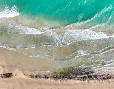
picture of white sandy Avalon beach

We conducted research with Corvus Works to develop software tools that can predict the burial, exposure, and movement of unexploded ordnance in the sea. By simulating the impact of waves and currents on seafloor objects, our model allows site managers to pinpoint areas where expensive surveys for unexploded ordnance is necessary.

Significant amounts of unexploded ordnance (UXO) and discarded military munitions are present on or beneath the seabed. The action of waves and currents causes them to become buried due to scour, settlement, and sediment accretion, or exposed when the bed sediment undergoes rapid or severe erosion. Prediction of UXO burial and exposure requires information on waves and currents, and seabed changes caused by hydrodynamic forcing mechanisms.

Our research with Corvus Works under the USA’s Munitions Response Program of the Strategic Environmental Research and Development Program developed software tools that enable site managers to simulate the burial, re-exposure, and mobilization of seafloor objects.

During our research, we used large-scale hydrodynamic and sediment transport models and simulated the environmental conditions on the former Fort Pierce Naval Amphibious Training Base in Florida for the year 2016, including atmospheric and hydrodynamic variables of Hurricane Matthew. 

These simulations generated essential data for the application of a new scour burial model DRAMBUIE 3.0, and for the design and testing of site management tool, UXOmob. The software provides site managers accurate predictions at sensible spatial and temporal scales within an acceptable timeframe, typically within a few days, allowing them to make informed decisions regarding ongoing monitoring, significantly reducing the frequency of repeated and expensive surveys for those locations where the risk of object migration is low under the prevailing environmental conditions.
 

Site visit photographs
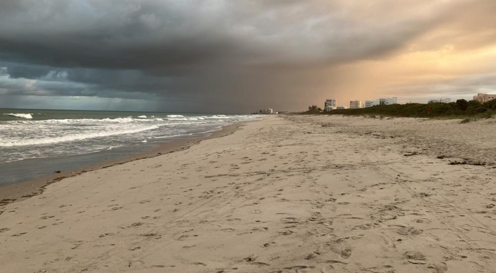
picture of white sandy Avalon beach

Avalon Beach, looking south

Middle beach looking north

Round Island Park, looking south

South Beach Park lower beach, looking south
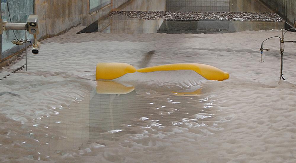
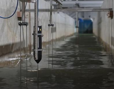
UXO tests for TenneT in HR Wallingford's Fast Flow Facility

Burial of discrete exemplar UXOs in South Beach

Instantaneous burial depths before and after the passage of Matthew 2016, shown by the colour contours. Initial and final positions of UXOs, shown by the dashed and solid red circles, respectively.

Location of UXOs relative to the beachface

Contact our project lead

Richard Whitehouse
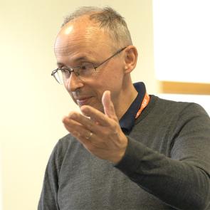
Chief Technical Director
Contact Profile

Explore more

  • All
  • Project
  • Expertise
  • News
  • Insight
  • Facility

Coastal morphology & sediment dynamics

Dredging & sediment management

Aerial view of Felixstowe at sunrise, showcase of nature positive dredging

Dredged material doing good

view of coral reef along coast

Insuring the benefits of nature-based solutions in the Caribbean

View of Fast Flow Facilities, where tsunamis are being recreated a scale

New film released – Tsunamis: towards the next breakthrough

UK Space Agency backs sewage spill assessment project

Greening coastal infrastructure

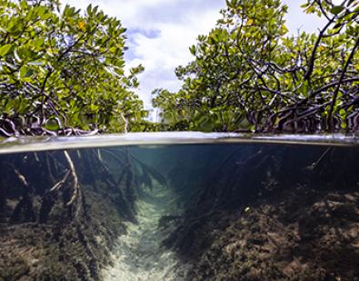
image of mangrove forest and underwater channel

Nature-based solutions in the Caribbean

Erosion rate measurement

infographics showing energy islands scheme

Energy islands’ sustainable credentials rest on good advice

view of a flume physical model with water and instrumentation

Investigating sand-gravel beach morphodynamics to help protect coastlines

Photo of physical model of Oosterweel Scheldt tunnel with a model boat

Physical modelling helps confirm safety of Scheldt tunnel installation

We are global leaders and independent experts in how to live and work sustainably with water

Social media

  • BlueSky
  • LinkedIn
  • YouTube

Expertise

  • Coastal & marine
  • Energy transition
  • Water & climate
  • Software solutions
  • Equipment & technology

Company

  • About
  • Careers
  • News
  • Insights
  • Sustainability

Legal

  • Privacy & data protection
  • Policies
  • Modern slavery statement
  • Terms & conditions
  • Sitemap
© 2026 HR Wallingford
Contact