
Secondary nav 2022

  • Equipment
  • Software
  • Training

Main navigation 2022

  • About
    • About HR Wallingford
    • Our leadership
    • Our people
    • Our impact
      • Annual report & financial statements
      • Gender pay
      • Social impact
      • Sustainability
    • Our story
    • News
    • Insight articles
    • Policies
  • Projects
  • Expertise
    • Coastal & marine sustainability
      • Coastal hazards & resilience
      • Coastal morphology & sediment dynamics
      • Dredging and sediment management
      • Marine & coastal environment
      • Ports, harbours and shipping
      • Subsea engineering
      • Waterfronts, marinas and resorts
    • Energy transition
      • Fixed offshore wind
      • Floating offshore wind
      • Liquified gas & transition fuels
      • Nuclear
      • Wave, tidal, solar & hydropower
    • Water & climate resilience
      • Dams & reservoirs
      • Freshwater environment
      • Integrated flood management
      • Surface water systems
      • Water management for climate resilient development
      • Water supply & drought resilience
  • Facilities
    • Explore our facilities
    • Ship simulation
      • Australia Ship Simulation Centre
      • UK Ship Simulation Centre
    • Physical modelling
      • Fast Flow Facility
      • Tsunami simulator
      • Volumetric flow flume
      • Wave basins
      • Wave flumes
      • Erosion rate measurement
      • Water rescue training
  • Careers
    • Careers overview
    • Working at HR Wallingford
    • Job opportunities
  • Contact
  1. Home >
  2. Projects >
  3. Understanding shallow flows for effective road drainage

Understanding shallow flows for effective road drainage

Share
close up view of splashing rain on road with car lights

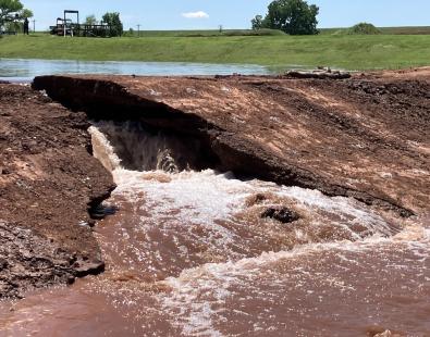
Effective drainage of roads and highways is crucial for both traffic safety and the long-term durability of the pavement. This, in turn, supports the overall resilience and sustainability of the road infrastructure. 

HR Wallingford developed a new way to assess the capacity of slot drains used along roads, enabling highway contractors to provide National Highways with independent verification of their drain designs.

Effective road drainage for road safety and resilience

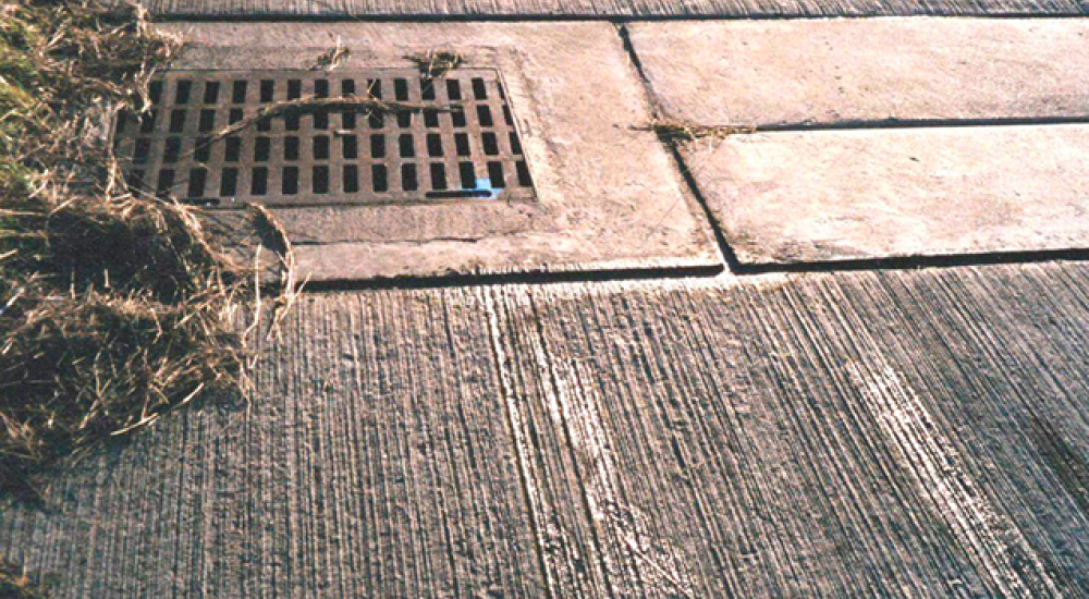
Slot drains are commonly used along the edges of roads, as they can efficiently capture and direct runoff away from the road surface, reducing the risk of water accumulation and hydroplaning. Slot drains are discreet and can be manufactured off-site under controlled conditions, ensuring consistent quality and easy installation.

However, ensuring that these slot drains capture the necessary amount of runoff from the road is more complex than with other types of drains, like channels or gullies. The narrow slot, which is necessary for traffic safety, must be well understood to determine how much water enters the slot and how much bypasses it.

Image of a slot drain on a road

Developing a new method to verify slot drain design

Our goal was to find out how much water a 32 mm wide slot can handle at a range of different water depths. But, as shallow water flows on pavements don’t fit neatly into standard open channel hydraulics concepts, we had to develop a suitable formula to describe the flow movement and the capturing capacity of the slot.

To develop the formula, we reviewed several methods from the literature, including round crested weirs, sharp-crested weirs, and flows over mild slopes and sharp edges. We also considered HR Wallingford’s own formulas for pavement flows. These methods helped estimate the water depths approaching the slot.

We built a 2D computational fluid dynamics model to predict the flow of water intercepted by the slot. We ran five simulations, including five different depths upstream of the slot drain (2 mm, 3 mm, 4 mm, 5 mm and 10 mm). 

We were able to prove numerically that the slot drains could capture all the water runoff up to a depth of 10 mm. For the current shallow water levels and the specific pavement conditions (like roughness, length, and slope), the water flow always goes into the drain without spilling over. 

The rating curve, showing the relationship between water flow and depth, used data from the five simulations. We compared it with other known methods for predicting water flow over weirs and off sharp edges. The comparison showed that it’s important to use this methodology because it takes into account unique factors of each slot drain, like rounded edges and how the water approaches the drain.

Our drainage experts can use this method to assess a range of slot drains, allowing drainage manufacturers and designers to demonstrate the effectiveness of their designs to National Highways ahead of construction

Contact our project lead

Manuela Escarameia

Technical Director
Contact Profile

Explore more

  • All
  • Project
  • Expertise
  • News
  • Insight
  • Facility

Buscot Park lake: a heritage dam reinvented

Automating biodiversity impact assessments with Earth observation

Automating biodiversity impact assessments with Earth observation

Aerial view of a meandering river

A new Environmental Destination framework

Aerial view of a meandering river

A new Environmental Destination framework

View of sand dune with grass

International Guidelines on Natural and Nature-based Features for Flood Risk Management

view of people helping during a flood event

Empowering communities to manage local flood risk

Flood early warning system to support tropical cyclone relief

View of brown trout in river

Setting the standards for fish passes

Aerial view of St Kitts and Nevis Caribbean island

St Kitts and Nevis Climate Risk Intelligence Data Infrastructure

view of drought impacts in South Africa

Designing climate services in South Africa

view of drought impacts in South Africa

Designing climate services in South Africa

We are global leaders and independent experts in how to live and work sustainably with water

Social media

  • BlueSky
  • LinkedIn
  • YouTube

Expertise

  • Coastal & marine
  • Energy transition
  • Water & climate
  • Software solutions
  • Equipment & technology

Company

  • About
  • Careers
  • News
  • Insights
  • Sustainability

Legal

  • Privacy & data protection
  • Policies
  • Modern slavery statement
  • Terms & conditions
  • Sitemap
© 2026 HR Wallingford
Contact