
Secondary nav 2022

  • Equipment
  • Software
  • Training

Main navigation 2022

  • About
    • About HR Wallingford
    • Our leadership
    • Our people
    • Our impact
      • Annual report & financial statements
      • Gender pay
      • Social impact
      • Sustainability
    • Our story
    • News
    • Insight articles
    • Policies
  • Projects
  • Expertise
    • Coastal & marine sustainability
      • Coastal hazards & resilience
      • Coastal morphology & sediment dynamics
      • Dredging and sediment management
      • Marine & coastal environment
      • Ports, harbours and shipping
      • Subsea engineering
      • Waterfronts, marinas and resorts
    • Energy transition
      • Fixed offshore wind
      • Floating offshore wind
      • Liquified gas & transition fuels
      • Nuclear
      • Wave, tidal, solar & hydropower
    • Water & climate resilience
      • Dams & reservoirs
      • Freshwater environment
      • Integrated flood management
      • Surface water systems
      • Water management for climate resilient development
      • Water supply & drought resilience
  • Facilities
    • Explore our facilities
    • Ship simulation
      • Australia Ship Simulation Centre
      • UK Ship Simulation Centre
    • Physical modelling
      • Fast Flow Facility
      • Tsunami simulator
      • Volumetric flow flume
      • Wave basins
      • Wave flumes
      • Erosion rate measurement
      • Water rescue training
  • Careers
    • Careers overview
    • Working at HR Wallingford
    • Job opportunities
  • Contact
  1. Home >
  2. Projects >
  3. Flood early warning system to support tropical cyclone relief

Flood early warning system to support tropical cyclone relief

Share

We have helped to provide advance warning of potential flooding ahead of 14 tropical cyclones between 2020 and 2025. We supplied information rapidly to the UK Foreign, Commonwealth & Development Office and aid agencies, so they had time to plan and coordinate the distribution of humanitarian relief.

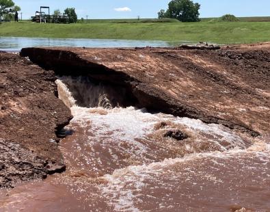
Tropical cyclones, which cause water levels to rise on the coast, have caused some of the most devastating flooding in history. However, if aid agencies receive advance warning of flooding, they have time to prepare and allocate funding for the impending crisis before the cyclones hits.

As part of a consortium, we developed a system for the UK Foreign, Commonwealth & Development Office (UK FCDO) that could analyse data rapidly to forecast flooding in coastal areas. Our outputs were combined with those of our partners to compile a tailor-made bulletin to advise on likely flooding areas and the populations and infrastructure that would probably be affected. The bulletin was circulated to governments, local meteorological organisations and humanitarian decision-makers.

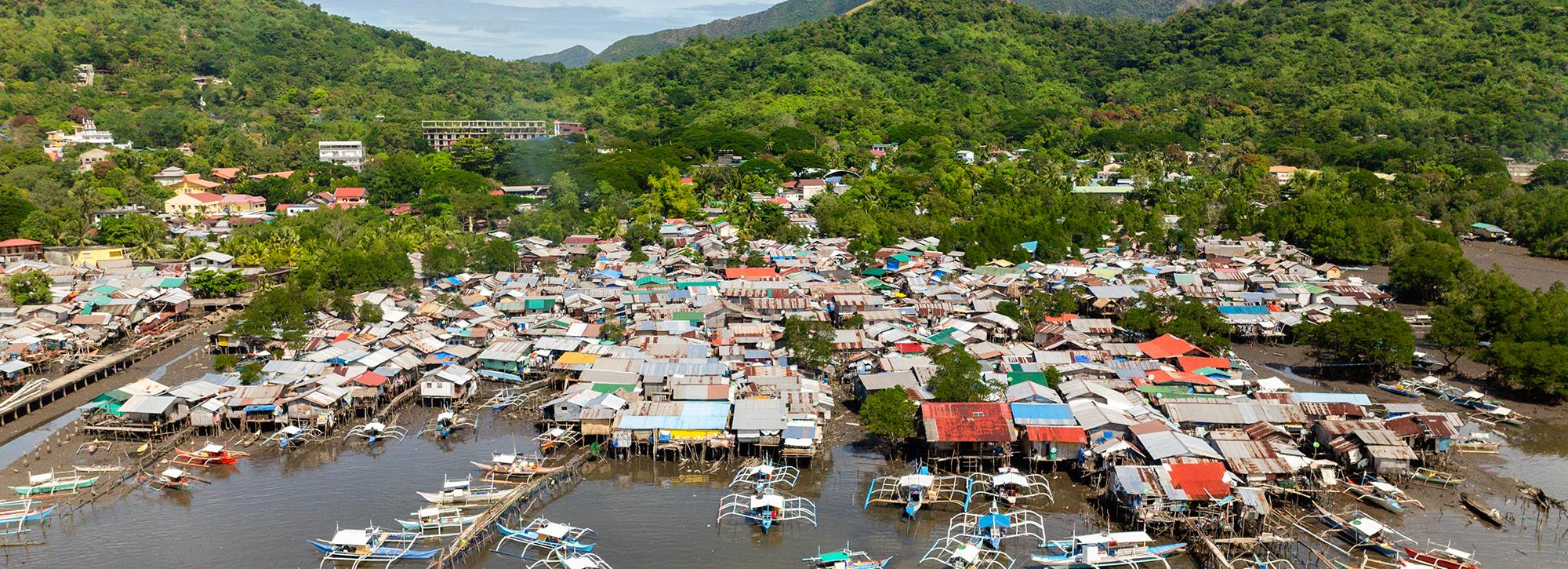
Between May 2020 and February 2025, we created bulletins covering cyclones in Bangladesh, Myanmar, Mozambique, Madagascar, Philippines, Pakistan, Central America and the Caribbean. 

Forecast water level as Cyclone Mocha made landfall on the coast of Myanmar.

Our surge modelling tool

At HR Wallingford, we developed a surge model that was able to show how much water levels would rise along coastlines in response to a cyclone and when they would reach the point that they would cause widespread flooding on the coast. We developed this system of tropical cyclone surge forecasting by using established methodologies and building on our earlier work in Bangladesh. 

Once alerted to an impending cyclone on the FCDO watchlist, we took forecasts of tropical cyclones from meteorological agencies and combined them with the established open-source hydrodynamic computational modelling tool TELEMAC. We also added our own methodology to the TELEMAC tool and set it up to automatically analyse data. 

A collaborative effort

Our predictions of coastal flooding surge were combined with forecast flooding from rainfall and rivers by the partner universities of Reading and Bristol and the Red Cross Red Crescent Climate Centre. Fathom then used these flood maps to work out how the flooding would impact on populations and infrastructure. The ECWMF provided meteorological insights  and DAI were the project managers. Funding was provided by the UK FCDO.

Contact our project lead

Stephen Grey

Principal Scientist
Contact Profile

Explore more

  • All
  • Project
  • Expertise
  • News
  • Insight
  • Facility
View of a dam breach experiment

Dam and levee models assessed for predicting internally initiated breaches

View of a dam breach experiment

Dam and levee models assessed for predicting internally initiated breaches

dolphin swimming next to big ship

SEUSS, innovative modelling to safeguard marine ecosystems worldwide.

Automating biodiversity impact assessments with Earth observation

Aerial view of a meandering river

A new Environmental Destination framework

View of sand dune with grass

International Guidelines on Natural and Nature-based Features for Flood Risk Management

view of people helping during a flood event

Empowering communities to manage local flood risk

view of people helping during a flood event

Empowering communities to manage local flood risk

View of brown trout in river

Setting the standards for fish passes

Aerial view of St Kitts and Nevis Caribbean island

St Kitts and Nevis Climate Risk Intelligence Data Infrastructure

Aerial view of St Kitts and Nevis Caribbean island

St Kitts and Nevis Climate Risk Intelligence Data Infrastructure

Aerial view of St Kitts and Nevis Caribbean island

St Kitts and Nevis Climate Risk Intelligence Data Infrastructure

We are global leaders and independent experts in how to live and work sustainably with water

Social media

  • BlueSky
  • LinkedIn
  • YouTube

Expertise

  • Coastal & marine
  • Energy transition
  • Water & climate
  • Software solutions
  • Equipment & technology

Company

  • About
  • Careers
  • News
  • Insights
  • Sustainability

Legal

  • Privacy & data protection
  • Policies
  • Modern slavery statement
  • Terms & conditions
  • Sitemap
© 2026 HR Wallingford
Contact