Richer data helps Thames pilots plan safer passages

Under the S-100 framework, the product specifications S-104 (Water Level Information for Surface Navigation) and S-111 (Surface Currents) introduce dynamic gridded water level and current data, which, when combined with bathymetric data and other navigational layers such as buoys and obstructions, can significantly enhance situational awareness along tidal waterways.
Our work was designed to feed directly into the UK Hydrographic Office (UKHO)’s development of the new International Hydrographic Organization’s standards, which are designed to modernise navigation. Water level and surface current data forecasts were added to the data to enable mariners to plan transits along the tidal Thames and for navigating in real time.
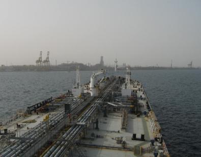
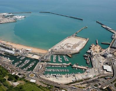
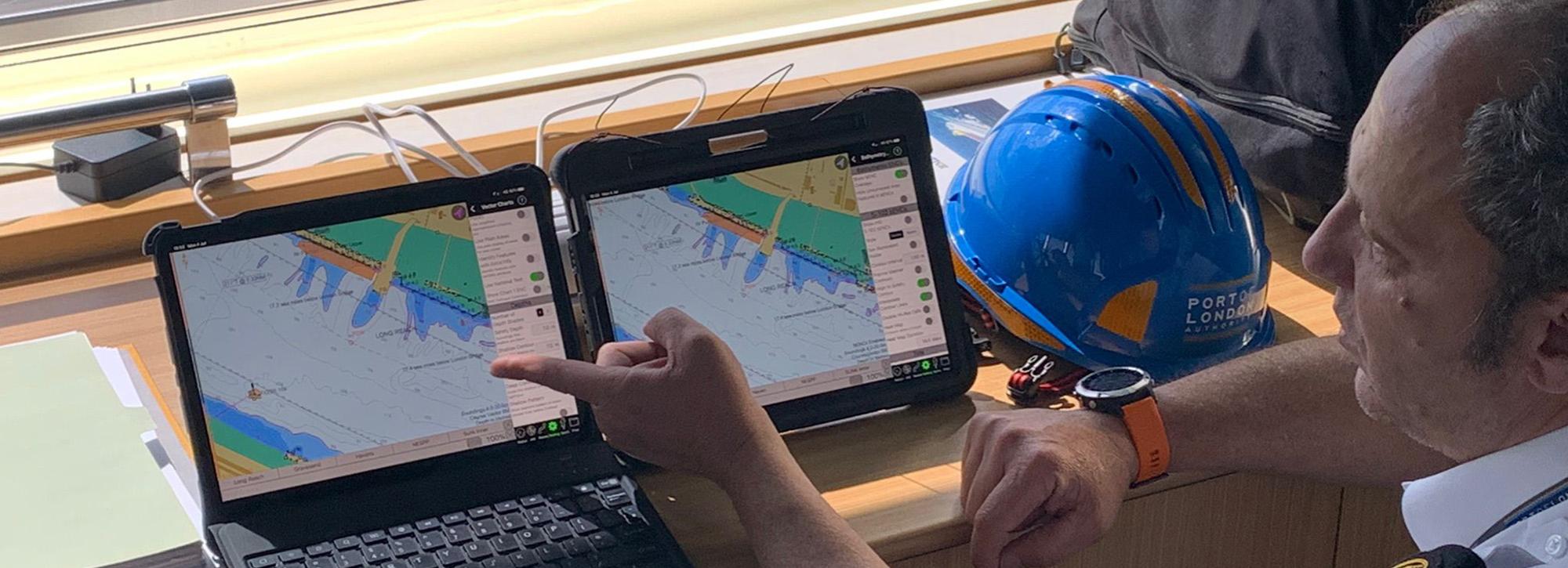
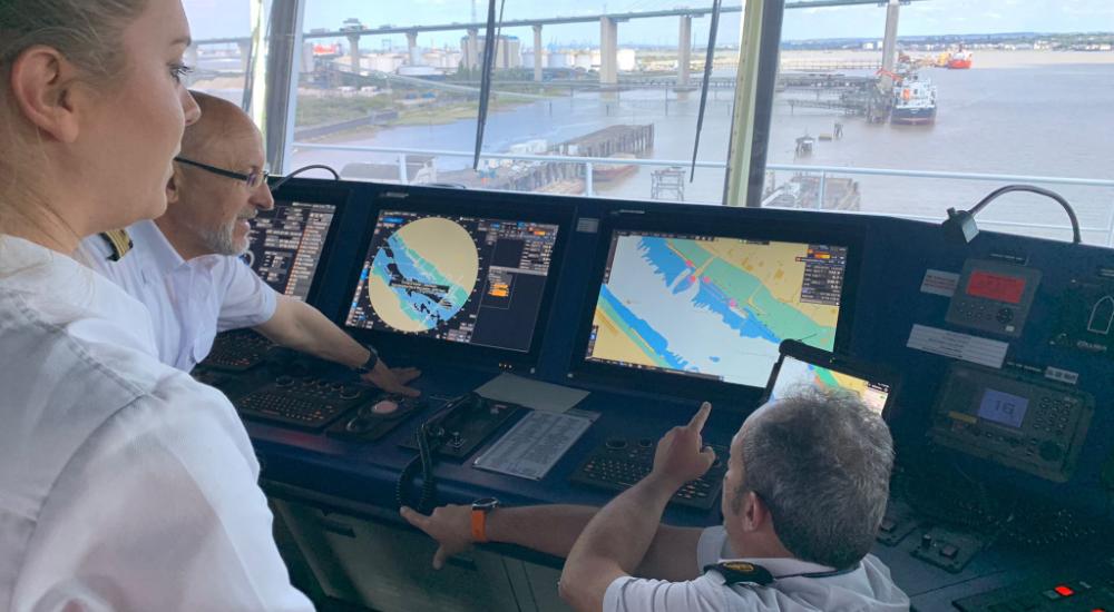
In a sea trial run by the UKHO with the Port of London Authority (PLA), our Thames Estuary forecast model supplied S-104 / S-111-formatted water level and current forecasts for a 100 km stretch of the tidal River Thames, from the outer estuary through to the main approach channels. These data were visualised in the SEAiq portable pilot unit viewer to support pilot passage planning, under-keel clearance assessments and route decisions - illustrating how dynamic tidal and current information could be used alongside traditional chart data.
While the trial used forecast (not live observational) data, the ability to visualise evolving water depths and currents over time shows real potential for extended tidal windows, safer navigation and more efficient port operations.
The S-104 water level data combined with bathymetric data can generate a safety contour that evolves with the tidal heights, so pilots can see in real time how much water depth is available. This allows them to avoid groundings, particularly at tidally restricted locations. Having this information will also enable shipping companies to plan times when they can berth and load cargo more efficiently, providing a significant operational advantage.
With the S-111 surface current data, pilots will also be able to identify favourable routes and take advantage of ebb or flood tide currents, which can help them reduce their fuel consumption and transit times.
The UKHO made a video about testing the applications of S-104 and S-111 in the sea trial with the Port of London Authority.
Our role
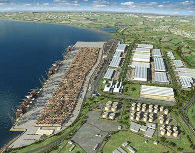
To demonstrate the improvements available for users of the S-111 and S-104 data formats and how improved tidal data may be integrated, a pilot water level and current forecast system was set up for the Thames Estuary. The pilot covers the whole 100 km length of the tidal River Thames from the outer estuary to include the main approach channels to the estuary.
The forecast system links our existing highly calibrated Thames Estuary TELEMAC-2D hydrodynamic model to UK Met Office continental shelf scale tidal and weather forecast models. All the significant drivers of water level and current, tides, surges, river flow (supplied by the Environment Agency forecasting team), wind, air pressure and salinity, were included. The automated system, run on our in-house high power computing cluster, provided a six-day forecast that was updated daily, with the results transferred into the required standardised formats and uploaded to the UKHO platform.
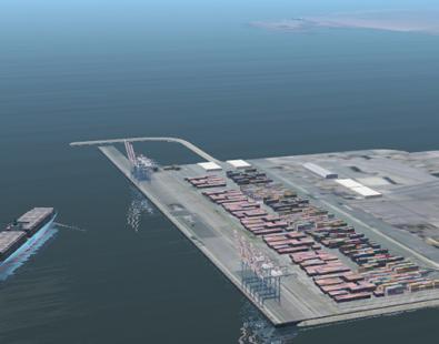
To check the accuracy of the forecasts, we provided support to the PLA in taking current measurements in the authorized navigation channel over a period of a month. We deployed current meters in the approaches to DP World’s London Gateway Port on the Thames in Essex. We validated the forecast model with observations of currents and tide gauge data elsewhere within the area.
We observed how, similarly to weather forecasting, the accuracy of the forecast currents and water levels improved nearer to the actual time. For example, forecasts made for three days ahead were noticeably more accurate than that made for six days ahead. Interestingly whilst the forecast accuracy improved from the three days ahead to the one day ahead forecasts, it was at a much-reduced rate compared to the forecast further into the future.
This pilot expands our track record of more than 20 years of operational marine forecasting services, with emphasis on bespoke downscaled nearshore wave and response-based forecasts including for example wave overtopping of coastal structures, vessel response and dredged plume dispersion.
Next steps
The UKHO will take the data sets supplied by our Thames forecasting model to use in trials with other shipping companies to obtain feedback on how these datasets can be used in other environments.
Contact our project lead
John Baugh