National flood mapping for Ireland
The Office of Public Works (OPW) has made the new data available on its national flood hazard mapping website, www.floodinfo.ie, which presents information about places at possible risk from flooding in map format. Users can search for flood information in any locality and view reports, photographs, newspaper articles and other information about reported floods.
Ireland is proactive about flood management and mapped the whole country in 2012 under a programme called the PFRA (Preliminary Flood Risk Assessment). From this, 300 areas deemed to have the greatest flood risk were identified and modelled in greater detail in a second scheme, the CFRAM (Catchment Flood Risk Assessment and Management). We took a more in-depth look at the areas covered by the initial study that did not undergo further modelling under the CFRAM programme, giving planners a much clearer picture across the whole country.
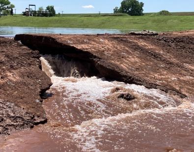
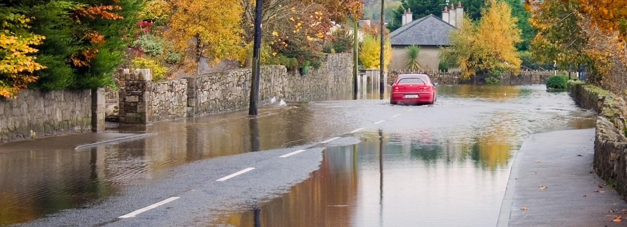
Among the raft of new information produced by the tool are the ability to predict the velocity of floods, the likely time until flooding begins, and its possible duration – a move that will help the authorities to better assess risk. For instance, predicting velocity alongside depth is an advantage because flood risks to people are greater in faster moving waters – 150 mm of fast flowing water can knock people off their feet while 300 mm can shift most cars off the road, according to OPW. Metrics included in previous flood mapping exercises, such as the extent, depth and levels of flooding, are also calculated using the new approach.
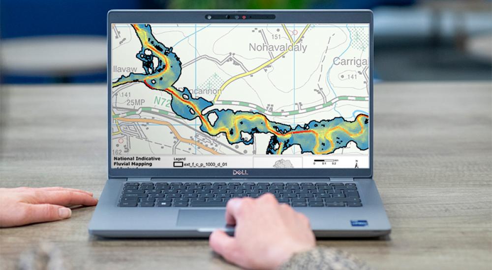
To develop the fully-automated model, our team combined intelligent automation with established quality assurance techniques, an approach made possible by recent huge leaps in computing power. Covering rivers with a catchment area greater than 5 km2, and 27,000 km of river reaches, the model predicts outcomes for three probabilities of river flooding patterns and two possible future climate scenarios. Its predictions are more accurate than the previous PFRA outputs, which relied on the normal-depth method.
A real technical achievement, the new method takes hydrological data from the Irish Flood Studies Update study and builds an automated two-dimensional flood inundation model for each catchment. Additional data incorporated into each catchment includes the digital river network, river channels, any arterial drainage routes, the location of river crossings and land cover data. The model can be updated as new data becomes available – a benefit that could save a lot of time and effort in the future.
Of course, advancing flood hazard predictions did not come without its challenges. For instance, in many urban areas and on agricultural land, watercourses have been significantly altered from their natural channel capacities, leading to potentially inaccurate predictions. To combat this and achieve accuracy over a large area, we trialled and modified standard methods using local data.
Although this version of the tool was developed specifically for Ireland, it can be adapted for other countries or areas.
Contact our project lead
Emma Brown