
Secondary nav 2022

  • Equipment
  • Software
  • Training

Main navigation 2022

  • About
    • About HR Wallingford
    • Our leadership
    • Our people
    • Our impact
      • Annual report & financial statements
      • Gender pay
      • Social impact
      • Sustainability
    • Our story
    • News
    • Insight articles
    • Policies
  • Projects
  • Expertise
    • Coastal & marine sustainability
      • Coastal hazards & resilience
      • Coastal morphology & sediment dynamics
      • Dredging and sediment management
      • Marine & coastal environment
      • Ports, harbours and shipping
      • Subsea engineering
      • Waterfronts, marinas and resorts
    • Energy transition
      • Fixed offshore wind
      • Floating offshore wind
      • Liquified gas & transition fuels
      • Nuclear
      • Wave, tidal, solar & hydropower
    • Water & climate resilience
      • Dams & reservoirs
      • Freshwater environment
      • Integrated flood management
      • Surface water systems
      • Water management for climate resilient development
      • Water supply & drought resilience
  • Facilities
    • Explore our facilities
    • Ship simulation
      • Australia Ship Simulation Centre
      • UK Ship Simulation Centre
    • Physical modelling
      • Fast Flow Facility
      • Tsunami simulator
      • Volumetric flow flume
      • Wave basins
      • Wave flumes
      • Erosion rate measurement
      • Water rescue training
  • Careers
    • Careers overview
    • Working at HR Wallingford
    • Job opportunities
  • Contact
  1. Home >
  2. Projects >
  3. Monitoring Yemen’s groundwater depletion using satellite data

Monitoring Yemen’s groundwater depletion using satellite data

Share

Yemen is facing a severe water crisis, with groundwater being exploited faster than it can naturally replenish. The ongoing conflict and the sheer scale of the issue make tracking groundwater trends incredibly challenging. We have used Earth Observation data to measure and monitor groundwater exploitation in Yemen, helping us to understand trends and inform management of this critical resource.

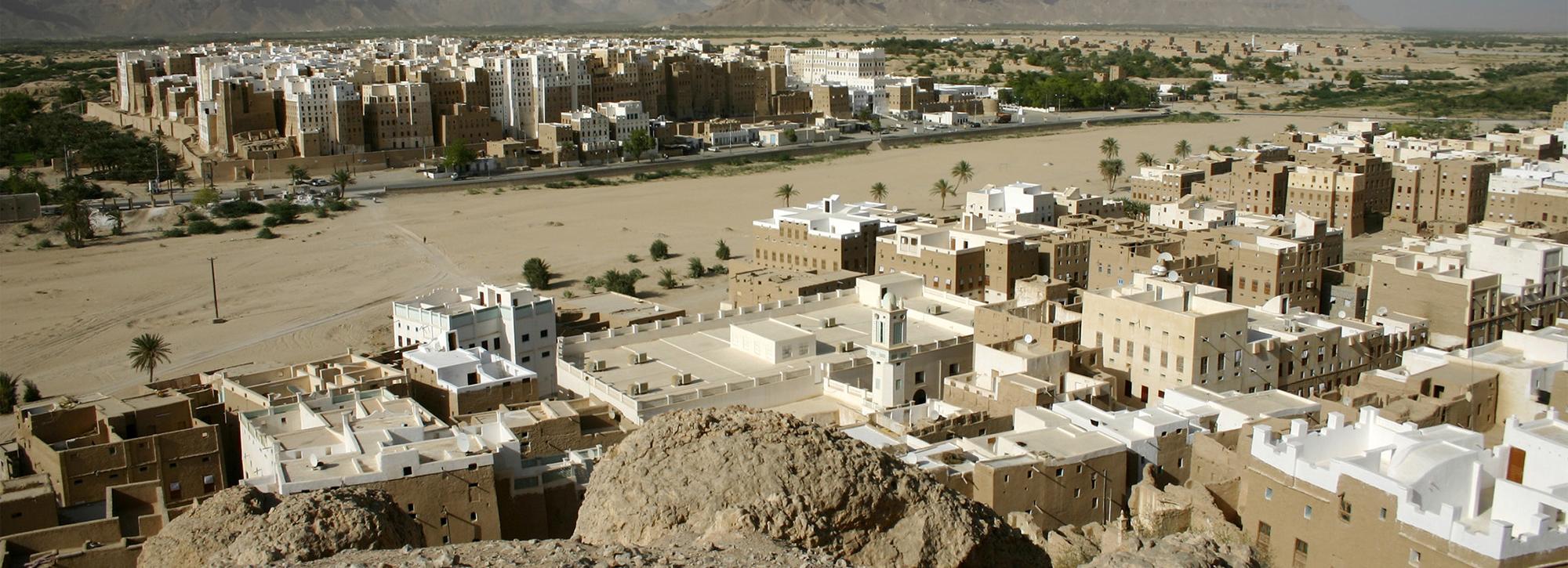
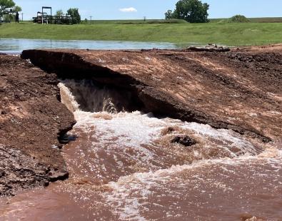
Water is a precious commodity in Yemen, with much of the country’s resources locked away in groundwater. The growth in borehole drilling and the recent adoption of solar-powered groundwater pumps have intensified pressure on this vital resource, with 90% of groundwater exploitation supplying irrigated agriculture. Unfortunately, recent data on groundwater abstraction and recharge are scarce, making it difficult to pinpoint the areas most affected by groundwater depletion and assess whether the problem is worsening.

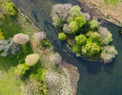
Earth Observation (EO) data offers promising insights. By providing gridded recent data on rainfall, cropland, evapotranspiration, and other variables, EO data helps estimate groundwater recharge and abstraction rates, as well as the overall water balance at the catchment scale. 

Photo of Yemen irrigated terraces for agriculture

HR Wallingford led a consortium using EO data to estimate the water balance for catchments across Yemen with significant irrigated agriculture, using Water Accounting + tools developed by Delft IHE. We also developed a composite indicator of groundwater depletion risk by overlaying depletion data with population and vulnerability indicators.

While the use of EO data comes with challenges, such as the need for field data to validate EO data products, this approach provides insights that are simply unattainable at the resolution and timescales of ground-based data in Yemen. Groundwater systems, agricultural practices, and water exploitation and management in Yemen are unique and complex. We collaborated remotely with Yemeni organisations and development partners throughout the process to ensure our work accurately reflects the challenges faced. The information has been compiled into a publicly accessible website, Yemen Groundwater Risk, to disseminate the outputs.

Contact our project lead

George Woolhouse

Principal Scientist
Contact Profile

Explore more

  • All
  • Project
  • Expertise
  • News
  • Insight
  • Facility
View of a dam breach experiment

Dam and levee models assessed for predicting internally initiated breaches

View of a dam breach experiment

Dam and levee models assessed for predicting internally initiated breaches

Drainage and Wastewater Management guidance

Rainwater Management Platform: transforming how the UK manages rainwater

SuDS iQ: a digital environment for evaluating and planning good SuDS

dolphin swimming next to big ship

SEUSS, innovative modelling to safeguard marine ecosystems worldwide.

Buscot Park lake: a heritage dam reinvented

Automating biodiversity impact assessments with Earth observation

Aerial view of a meandering river

A new Environmental Destination framework

Flood early warning system to support tropical cyclone relief

View of brown trout in river

Setting the standards for fish passes

Aerial view of St Kitts and Nevis Caribbean island

St Kitts and Nevis Climate Risk Intelligence Data Infrastructure

We are global leaders and independent experts in how to live and work sustainably with water

Social media

  • BlueSky
  • LinkedIn
  • YouTube

Expertise

  • Coastal & marine
  • Energy transition
  • Water & climate
  • Software solutions
  • Equipment & technology

Company

  • About
  • Careers
  • News
  • Insights
  • Sustainability

Legal

  • Privacy & data protection
  • Policies
  • Modern slavery statement
  • Terms & conditions
  • Sitemap
© 2026 HR Wallingford
Contact