Secondary nav 2022

  • Equipment
  • Software
  • Training

Main navigation 2022

  • About
    • About HR Wallingford
    • Our leadership
    • Our people
    • Our impact
      • Annual report & financial statements
      • Gender pay
      • Social impact
      • Sustainability
    • Our story
    • News
    • Insight articles
    • Policies
  • Projects
  • Expertise
    • Coastal & marine sustainability
      • Coastal hazards & resilience
      • Coastal morphology & sediment dynamics
      • Dredging and sediment management
      • Marine & coastal environment
      • Ports, harbours and shipping
      • Subsea engineering
      • Waterfronts, marinas and resorts
    • Energy transition
      • Fixed offshore wind
      • Floating offshore wind
      • Liquified gas & transition fuels
      • Nuclear
      • Wave, tidal, solar & hydropower
    • Water & climate resilience
      • Dams & reservoirs
      • Freshwater environment
      • Integrated flood management
      • Surface water systems
      • Water management for climate resilient development
      • Water supply & drought resilience
  • Facilities
    • Explore our facilities
    • Ship simulation
      • Australia Ship Simulation Centre
      • UK Ship Simulation Centre
    • Physical modelling
      • Fast Flow Facility
      • Tsunami simulator
      • Volumetric flow flume
      • Wave basins
      • Wave flumes
      • Erosion rate measurement
      • Water rescue training
  • Careers
    • Careers overview
    • Working at HR Wallingford
    • Job opportunities
  • Contact
  • About
    • About HR Wallingford
    • Our leadership
    • Our people
    • Our impact
      • Annual report & financial statements
      • Gender pay
      • Social impact
      • Sustainability
    • Our story
    • News
    • Insight articles
    • Policies
  • Projects
  • Expertise
    • Coastal & marine sustainability
      • Coastal hazards & resilience
      • Coastal morphology & sediment dynamics
      • Dredging and sediment management
      • Marine & coastal environment
      • Ports, harbours and shipping
      • Subsea engineering
      • Waterfronts, marinas and resorts
    • Energy transition
      • Fixed offshore wind
      • Floating offshore wind
      • Liquified gas & transition fuels
      • Nuclear
      • Wave, tidal, solar & hydropower
    • Water & climate resilience
      • Dams & reservoirs
      • Freshwater environment
      • Integrated flood management
      • Surface water systems
      • Water management for climate resilient development
      • Water supply & drought resilience
  • Facilities
    • Explore our facilities
    • Ship simulation
      • Australia Ship Simulation Centre
      • UK Ship Simulation Centre
    • Physical modelling
      • Fast Flow Facility
      • Tsunami simulator
      • Volumetric flow flume
      • Wave basins
      • Wave flumes
      • Erosion rate measurement
      • Water rescue training
  • Careers
    • Careers overview
    • Working at HR Wallingford
    • Job opportunities
  • Contact
  1. Home >
  2. Facilities >
  3. Physical modelling >
  4. Wave flumes

Wave flumes

Share
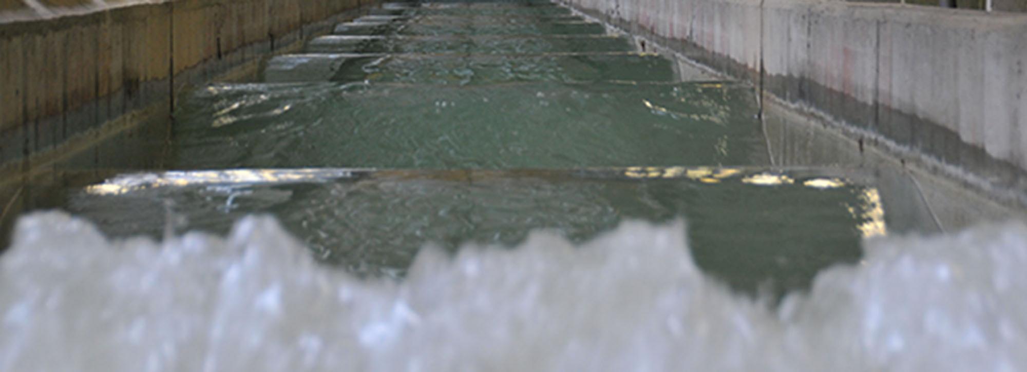
View of a wave formed in our physical wave flume model

HR Wallingford’s 2D wave flumes are where the majority of our coastal studies start. We use them to optimise and validate sections of revetment and breakwater before moving on to more complex 3D investigations. Our flumes are equipped with the same range of state of the art equipment and instrumentation as our wave basins, including laser scanning and video capture.

We have two wave flumes that are 40 m long and 1.2 m wide, with a maximum operating depth of 1.0 m. Each flume is equipped with a wavemaker that can produce both regular and random waves.

Flume tests are generally carried out to assess the performance of a cross-section when incident
waves are close to normal to the structure. To minimise scale effects, relatively large models are constructed with scales ranging between 1:10 to 1:40.

Wave generation

The flume wavemakers can create random wave trains of any spectral shape, including the standard JONSWAP and Pierson- Moskowitz spectra. We can generate model waves of up to 0.3 m in water depths of up to 1.0 m. Active wave absorption systems ensure that wave reflections from the test structure are absorbed, minimising reflected wave energy levels.

Model construction

The bathymetry is constructed in cement mortar to ensure that wave processes such as shoaling and breaking are correctly reproduced. The cross-section is built in a part of the flume that can be isolated. The means the structure can be modified quickly between tests, without the need to drain the whole of the flume.

How our wave flumes are used

Flume tests are used to fully explore the performance of a structure under a range of sea state conditions and to refine the cross-sectional design.

We use our flumes to investigate:

  • stability of armour layers
  • structure run-up performance
  • overtopping performance of the structure -  mean, peak or wave by wave discharge
  • wave reflections from, and transmission through, the structure
  • the susceptibility of the structure to toe scour
  • wave forces or pressures imposed on the structure.

An overview of our wave flumes

Facility Dimensions Operating water depth Notes
Wave flume 1 45 m x 1.2 m 1.2-1.5 m Piston paddle wavemaker
Wave flume 2 45 m x 1.2 m 1.2-1.5 m Piston paddle wavemaker

Get in touch

Tom Rigden

Facilities manager
Contact Profile
Headshot of Physical modelling manager, Tom Rigden

Explore more

  • All
  • Project
  • Expertise
  • News
  • Insight
  • Facility

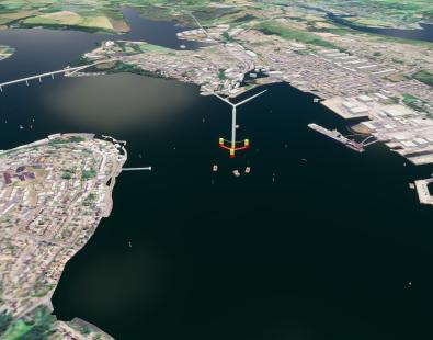
Preparing Milford Haven for floating offshore wind

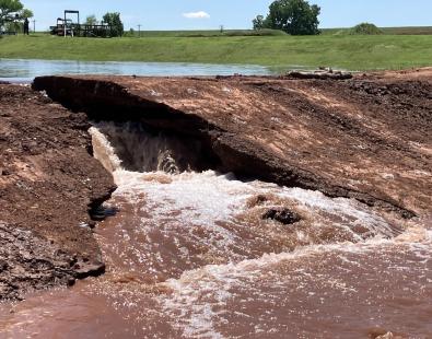
View of a dam breach experiment

Dam and levee models assessed for predicting internally initiated breaches

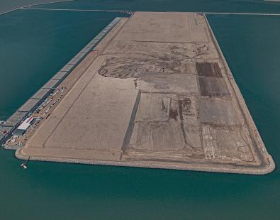
Engineering sustainable growth at Al Faw Grand Port

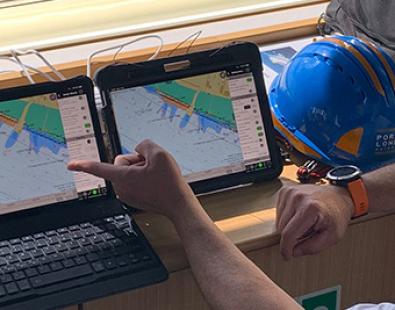
View of a pilot in front of two computer screens

Richer data helps Thames pilots plan safer passages

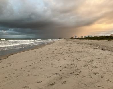
picture of white sandy Avalon beach

Modelling the burial and exposure of unexploded ordnance

dolphin swimming next to big ship

SEUSS, innovative modelling to safeguard marine ecosystems worldwide.

Flood early warning system to support tropical cyclone relief

View of Port Quasim

Facilitating the growth of Port Qasim

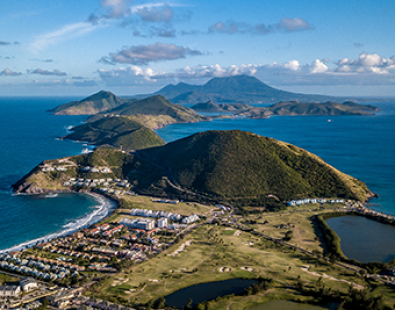
Aerial view of St Kitts and Nevis Caribbean island

St Kitts and Nevis Climate Risk Intelligence Data Infrastructure

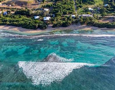
view of coral reef along coast

Insuring the benefits of nature-based solutions in the Caribbean

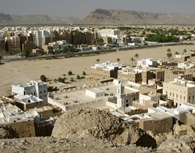
View of yemen town with river in middle

Monitoring Yemen’s groundwater depletion using satellite data

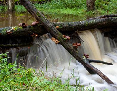
close view of leaky dam

RAIN: Innovative approaches to flood resilience

We are global leaders and independent experts in how to live and work sustainably with water

Social media

  • BlueSky
  • LinkedIn
  • YouTube

Expertise

  • Coastal & marine
  • Energy transition
  • Water & climate
  • Software solutions
  • Equipment & technology

Company

  • About
  • Careers
  • News
  • Insights
  • Sustainability

Legal

  • Privacy & data protection
  • Policies
  • Terms & conditions
  • Sitemap
© 2026 HR Wallingford
Contact