Earth Observation: the final frontier for understanding water?
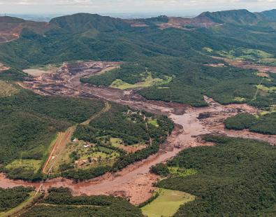
Over the past few years our team has applied EO to ground-breaking projects that have addressed challenges as diverse as: how to protect people from dengue fever and dam failures; assessing ground water levels in war-torn Yemen; and finding ways to identify the impact of flooding on agriculture and infrastructure.
Sometimes it seems the possibilities for using EO seem endless, and there have been a number of advance and trends in the sector that mean its applications will only continue to grow.
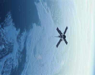
Satellites launches are on the up
The diminishing cost of launching satellites has led to a huge increase in launches by private operators in the last few years. These satellites are usually smaller and more bespoke than the ones in our skies previously, which were usually launched by national space agencies, and have transformed the amount, quality and variety of data we now have at our fingertips.
Some of this data is available for free and some you have to pay for. But generally, data sets now cover the earth in quicker repeat times and at higher resolution.
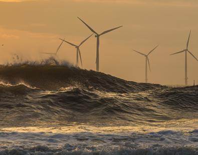
A really good example of an area we are watching closely is coastal erosion. It is an important topic for us, and high resolution imagery has the potential to help monitor it.
Analysis-ready data
Satellite and data companies are now packaging data into products that mean that EO data does not need to be pre-processed before use, which is called ‘analysis-ready data’. Whilst not all projects can make use of these products, they can reduce the work needed to make data useable and bring down costs.
For our flood mapping work we have already made extensive use of on-demand pre-processing capacities for Sentinel-1 data. And over time we are likely to see analysis-ready data becoming more widespread and more useful to a number of applications.
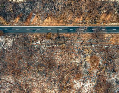
Higher resolution data
Earth observation data can now see huge amounts of detail. This high resolution data is really useful in certain circumstances, for instance, it is imperative when it comes to identifying pollutants and where they come from. New satellite data has the potential to help track methane and carbon dioxide emissions to individual sources, making enforcement of emissions taxes and caps much easier. At HR Wallingford we find that the increased detail on topography can help us make flood models more accurate.
However lower resolution, space agency mission data, which is free to the user, still has its place. Those data sets are usually available globally, covers large areas in one acquisition and crucially have extensive back catalogues of data allowing us to assess what happened in the past.
EO doesn’t have to be expensive to be useful, but sometimes it does help. It just depends what you are trying to find out.
As earth observation scientists working on the forefront of applying space technology to on-the-ground problems, we are learning all the time. But one thing is for sure, EO is going to help us solve water related problems in ways that could only have been dreamt of as recently as a decade ago.
Get in touch
Barbara Hofmann