UK Space Agency project homes in on tailings dams
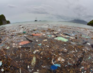
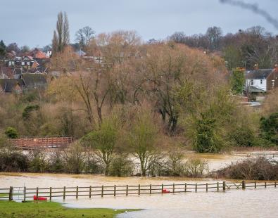
The consequences of tailings dam failures can be very serious. In November 2015, a huge tailings dam operated by a Brazilian mining company burst, creating a tidal wave of mining waste, and causing the worst environmental disaster in the country’s history. The mining dam collapse killed 19 people, causing huge mud slides. The waste travelled several hundred kilometres downstream, polluting the local river, which was turned iron-ore red, devastating many livelihoods in the process.
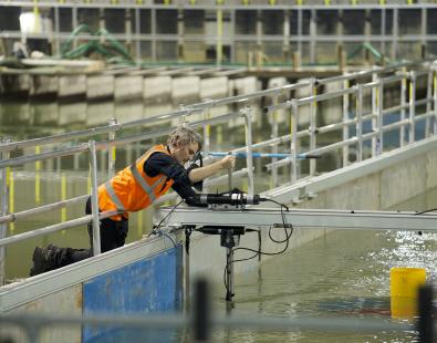
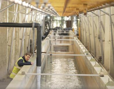
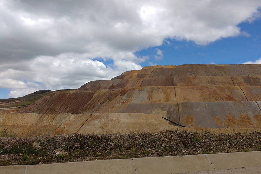
There is, therefore, an evident need for a cost-effective means of monitoring both operational and abandoned tailings dams, especially those in remote locations, to help forecast potentially catastrophic failures.
A new UK Space Agency project: ‘Minimising the risk of tailings dams failures through the use of remote sensing data’, will use Earth Observation (EO) technologies, combined with real-time in-situ devices, to provide a proof of concept of an economical way to remotely measure displacements of tailings dams and other mining infrastructure. The project involves working with multi-national mining companies, and local stakeholders in Peru, to test this approach on a number of operational and abandoned dams.
It is hoped that this work will reduce the risk of dam failures and pollution incidents by providing affordable, accurate and timely information on potential failures. It also aims to give decision-makers, non-governmental organisations and environmental regulators, greater capacity to govern mining activities.
Project Manager, Olalla Gimeno, based in the Flood Management Group at HR Wallingford, said: “Exploiting remote sensing data to monitor tailings dams more effectively, should allow for quicker action to be taken to avoid dam failures. This will help to reduce damage to ecosystem services downstream of mines upon which many vulnerable communities rely for both their source of water and their livelihoods.”
The project consortium is made up of Telespazio VEGA, Siemens Corporate Technology, Satellite Application Catapult, Oxford Policy Management, and the Smith School of Enterprise and the Environment at Oxford University.
International partners include: Ciemam SAC, the National Foundation for Hydraulic Engineering (Peru), and the National University of Cajamarca: School of Hydraulic Engineering and Faculty of Engineering.
Want to know more?
Get in touch
Helen Wilcox