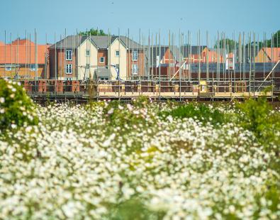
Flood risk management strategies for Moldova
As part of the Moldova Flood Protection Project, we mapped hazards and developed strategies to help reduce and manage flood risk in Moldova.

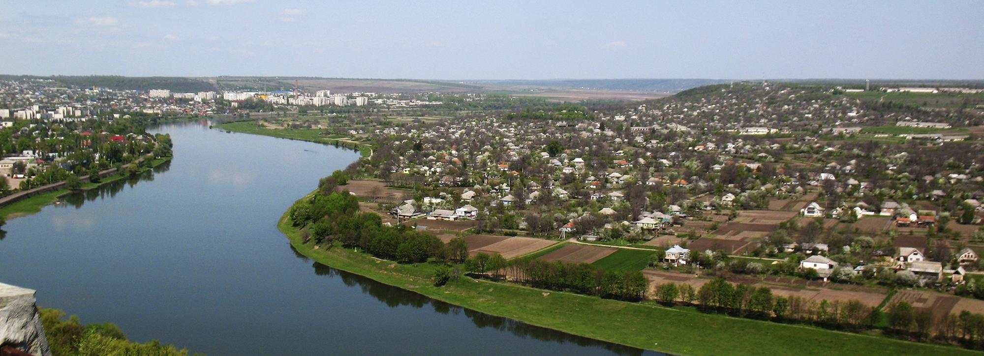
Moldova’s economy, population, and environment is vulnerable to flooding and climate change is expected to increase flood risk. The Moldova Flood Protection Project puts in place measures to reduce and manage the flood risk at a national level. Our team was part of a consortium that identified programmes of flood management measures for the short (2014 to 2020), medium (2021 to 2025) and long (2026 to 2035) terms. Our expertise contributed to the flood risk assessment and flood mapping, dam break assessments, development of flood risk management objectives, and capacity building of flood risk staff in the country.
Flood risk assessment and flood mapping
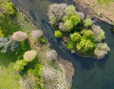
Following the procedure required by the EU Floods Directive, the project team completed a preliminary Flood Risk Assessment to identify the areas of greatest flood risk. Using InfoWorks ICM, a national flood map was produced for the whole country which the team used to select the areas of greatest flood risk for more detailed study. The team then prepared flood hazard and flood risk maps for about 3,000 km of river covering the high risk areas. They used surveys of the river channels and flood banks as the basis for this mapping, as well as a LiDAR survey of the floodplains.
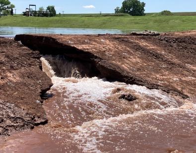
Dam break assessment
In addition to three major dams on the Prut and the Dniester, there are about 5,000 smaller reservoirs in Moldova. The flood risk assessment also took into account these dams and reservoirs. Our team modelled selected dams using our dam break modelling software, EMBREA.
Flood risk management objectives
The team developed and agreed flood risk management objectives with local stakeholders before developing flood risk management strategies for each part of the river system. Options for these strategies include structural approaches (such as improving the defence system) and non-structural approaches (such as flood forecasting and warning together with emergency planning and response).
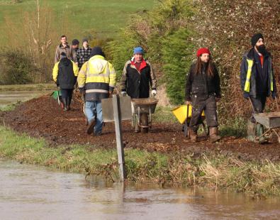
Capacity building
Our team supported staff in the Department of Environment in a programme of capacity building. This ensured that, by the end of the project, they were able to use the modelling and data systems, as well as undertake their own flood risk assessments.
Get in touch
Emma Brown