
Secondary nav 2022

  • Equipment
  • Software
  • Training

Main navigation 2022

  • About
    • About HR Wallingford
    • Our leadership
    • Our people
    • Our impact
      • Annual report & financial statements
      • Gender pay
      • Social impact
      • Sustainability
    • Our story
    • News
    • Insight articles
    • Policies
  • Projects
  • Expertise
    • Coastal & marine sustainability
      • Coastal hazards & resilience
      • Coastal morphology & sediment dynamics
      • Dredging and sediment management
      • Marine & coastal environment
      • Ports, harbours and shipping
      • Subsea engineering
      • Waterfronts, marinas and resorts
    • Energy transition
      • Fixed offshore wind
      • Floating offshore wind
      • Liquified gas & transition fuels
      • Nuclear
      • Wave, tidal, solar & hydropower
    • Water & climate resilience
      • Dams & reservoirs
      • Freshwater environment
      • Integrated flood management
      • Surface water systems
      • Water management for climate resilient development
      • Water supply & drought resilience
  • Facilities
    • Explore our facilities
    • Ship simulation
      • Australia Ship Simulation Centre
      • UK Ship Simulation Centre
    • Physical modelling
      • Fast Flow Facility
      • Tsunami simulator
      • Volumetric flow flume
      • Wave basins
      • Wave flumes
      • Erosion rate measurement
      • Water rescue training
  • Careers
    • Careers overview
    • Working at HR Wallingford
    • Job opportunities
  • Contact
  1. Home >
  2. Projects >
  3. Mpatamanga hydropower project: managing sediments in Malawi’s Shire River

Mpatamanga hydropower project: managing sediments in Malawi’s Shire River

Share
Photo of sandy sediments in river Shire in Malawi with green vegetation

The Shire River is the largest river in Malawi. A dam and hydropower project is planned on the Shire which will trap sediment in a new reservoir. We explored the potential impact this would have on power generation and the infrastructure and habitats up and downstream of the new structure.

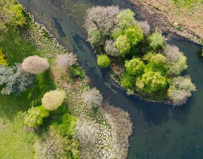
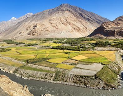
The Shire River is an important source of water for communities in southern Malawi. It is used for drinking water, irrigation and power generation; it is also critical to the ecological functioning of several protected habitats.

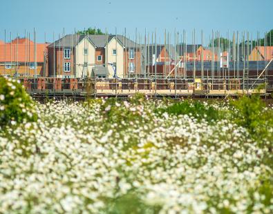
To increase power generation in Malawi, a new 350 MW Mpatamanga hydro power project is planned on the Shire. This will include construction of a 50 m tall dam and a smaller regulating dam. We assessed the impact this will have on sediment movement to ensure it can be successfully mitigated.

Potential wide-reaching impacts

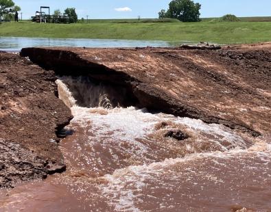
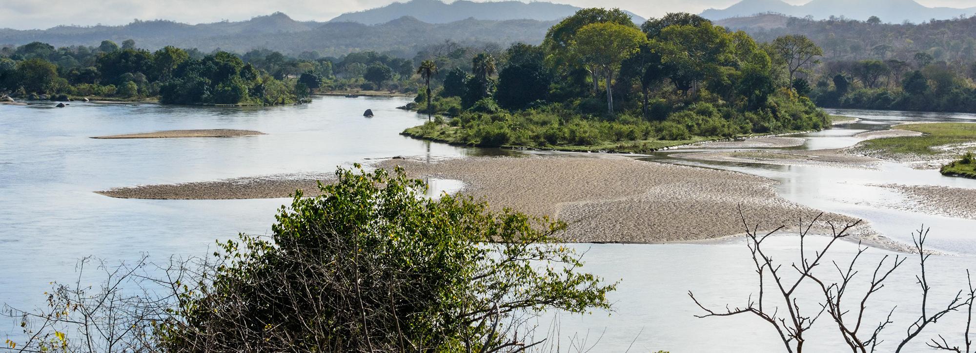
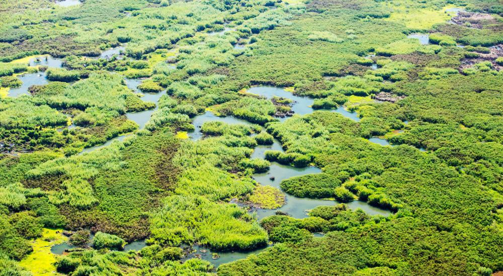
Upstream of the dam, sediment deposits in the reservoir will raise the bed level, leading to storage loss and higher water levels. Higher water levels will increase flood risk for a road bridge and hydropower plant upstream of the reservoir. Interrupting the flow of sediment downstream will cause erosion of the river channel, affecting the bank stability and sand bars, irrigation intakes and associated habitats along the river, including the ecologically important Elephant Marsh.

Photo of elephant marsh in Malawi, downstream of planned dam
The ecologically important Elephant Marsh is downstream of the planned dam

Establishing baseline conditions

Information on sediment flux in the Shire is scarce, so the first phase of our project established a baseline for present conditions. We conducted a comprehensive soil erosion and sediment delivery study and prepared a full sediment budget, which was informed by field work and data analysis, historical trends and basin management plans, also considering the likely impact of climate change, and developed numerical models for the reservoir (upstream) and the river (downstream). 

Upstream impacts

The upstream model allowed us to explore options for sediment management strategies, including annual dredging, sluicing and flushing. We also evaluated scenarios that triggered sluicing only when bed or water levels reached certain thresholds, and demonstrated that this approach was successful in keeping flood risks upstream below targets, while being less disruptive for energy production than annual sluicing. In fact, we estimate that the first sluicing is only needed after 20 years, and then every other year after that on average.

We confirmed that unlike fine sediment, sand would only pass through the dam with flushing, which would require important structural modifications, increasing costs, as well as significant modification of natural hydrological regime. 

Downstream impacts

The downstream model predicted important changes to the rivers morphology, including several metres of incision in the alluvial reaches closer to the dams. The impact further towards the Elephant Marsh will be lower. 

Uncertainties remain around estimates of sediment inflow, as well as other model parameters. We carried out a number of sensitivity tests, and our sediment management action plan recommendation include periodic surveys of bed levels at critical points, as well as full bathymetric surveys of the reservoir.

Our work has helped to identify ways to manage sediment that would mitigate the upstream impacts of the Mpatamanga dam, where action is taken when necessary to address sedimentation challenges while minimising the impact on electricity generation and operational costs. 

We noted that sediment management strategies for the reservoir will not help to address the downstream impacts, and highlighted the need for other measures to be assessed during environmental and social impact studies and plans as the project moves forward. 

Contact our project lead

Craig Goff

Technical Director
Contact Profile

Explore more

  • All
  • Project
  • Expertise
  • News
  • Insight
  • Facility

Buscot Park lake: a heritage dam reinvented

Automating biodiversity impact assessments with Earth observation

Aerial view of a meandering river

A new Environmental Destination framework

View of brown trout in river

Setting the standards for fish passes

view of drought impacts in South Africa

Designing climate services in South Africa

Combating land degradation in Central Asia

Water supply resilience for Addis Ababa

view of coral reef along coast

Insuring the benefits of nature-based solutions in the Caribbean

View of yemen town with river in middle

Monitoring Yemen’s groundwater depletion using satellite data

View of Domenica island after hurricane damage

Water sector risk and resilience in the Caribbean

Managing the future of groundwater in Belize

View of Dahej desalination plant off India's coast

Optimising intake and outfall designs in a complex coastal environment

We are global leaders and independent experts in how to live and work sustainably with water

Social media

  • BlueSky
  • LinkedIn
  • YouTube

Expertise

  • Coastal & marine
  • Energy transition
  • Water & climate
  • Software solutions
  • Equipment & technology

Company

  • About
  • Careers
  • News
  • Insights
  • Sustainability

Legal

  • Privacy & data protection
  • Policies
  • Modern slavery statement
  • Terms & conditions
  • Sitemap
© 2026 HR Wallingford
Contact